
ROUTE: VALL D'ERTA
Level of difficulty: moderate. Distance: 33.75 km. Height difference: +1,288 m.
Easy to access, ideal to enjoy the Manyanet Valley and its views.
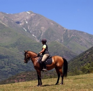
Suitable for MTB and horse.

ROUTE: SIERRA DE LAS ESGLÈSIES
Level of difficulty: moderate. Distance: 23.05 km. Height difference: +692 m
Suitable for MTB.
ROUTE: VOLTA A PUI DE FA
Level of difficulty: moderate. Distance: 11.22 km. Height difference: +472 m
Suitable for horse.
ROUTE: BUIRA -SENTERADA-BURGUET-CÈRVOLES-CORRONCUI-SENTÍS-BUIRA
Level of difficulty: difficult. Distance: 52.25 km. Height difference: +1,850 m.
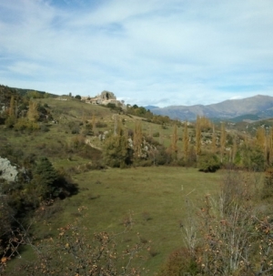
A tough route due to its accumulated height difference (approx. 2,300 m). The route mainly follows forest paths and natural trails, the longest of them will take you to the “pont del diable” (Devil’s Bridge). Unspoilt landscapes and dramatic views are guaranteed.
Suitable for MTB.

ROUTE: A RIDE INTO THE WOODS OF MANYANET
Level of difficulty: moderate. Distance: 24.35 km. Height difference: +797 m.
The route begins in Les Iglesies, goes through the village of Avellanos and the beautiful shared woods of Avellanos, Manyanet and Vilancós.
Suitable for MTB and horse.

ROUTE: BUIRA-LA POBLETA DE BELLVEÍ
Level of difficulty: difficult. Distance: 29.87 km. Height difference: +1,296 m.
A very nice route. We advise you to avoid the stretch of the state highway. Horses must be trained since there are pronounced and large height differences. You will not find much water along the way.
Suitable for horse.

ROUTE: BUIRA-COLL D'OLI
Level of difficulty: difficult. Distance: 14.72 km. Height difference: +604 m.
Suitable for MTB and horse.

ROUTE: BUIRA-LA CASA ENCANTADA (HAUNTED HOUSE)
Level of difficulty: moderate. Distance: 28.95 km. Height difference: +1,183 m.
Suitable for horse.

ROUTE: BUIRA - CASTELLARS
Level of difficulty: moderate. Distance: 28.95 km. Height difference: +1,491 m.
Suitable for MTB and horse.